Aerial photography
& video
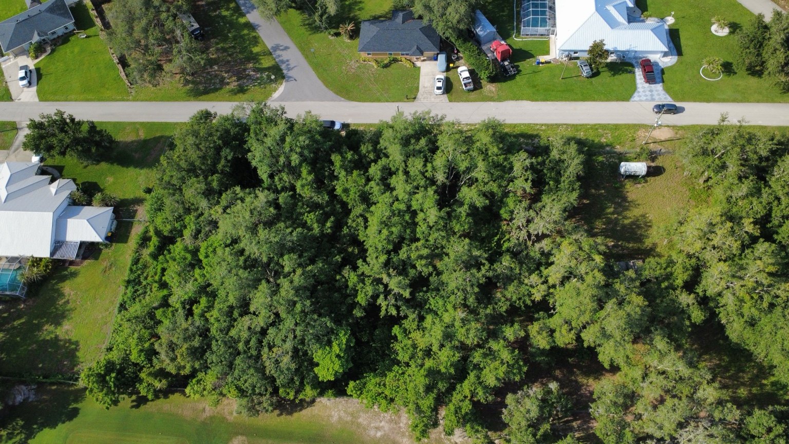
Showcase a home, a lot or a business with views of its exterior, surroundings and location.
- Overall property views
- Photos for marketing & social media
- Aerial exterior video
Aerial photos, video and visual documentation to showcase your property and follow your construction progress. A clear view from above.
 787DRONES / AERIAL PERSPECTIVES
Straightforward services. Purposeful images that help you show what matters.
Showcase a home, a lot or a business with views of its exterior, surroundings and location.
Document your construction progress with photos and video from scheduled site visits.
Get images of elevated areas for your contractor or specialist to review.
Visual documentation does not replace a technical inspection, diagnosis or structural assessment.
Capture a different perspective with thermal aerial imagery from our DJI Matrice 4T. View surface heat patterns alongside regular aerial images.
Footage capture only. Certified thermographic analysis and diagnostic reports are not included.
Drone-assisted searches to help locate missing pets and animals. Aerial views and thermal footage can support the search in suitable conditions.
Search support is subject to visibility, terrain and flight conditions. Locating an animal cannot be guaranteed.
See our rescue experience ↗Planned aerial image capture to document land, properties and construction sites. We coordinate the coverage and mapping deliverables around your project.
A selection of aerial photography and video. Explore landscapes, properties and places from above.
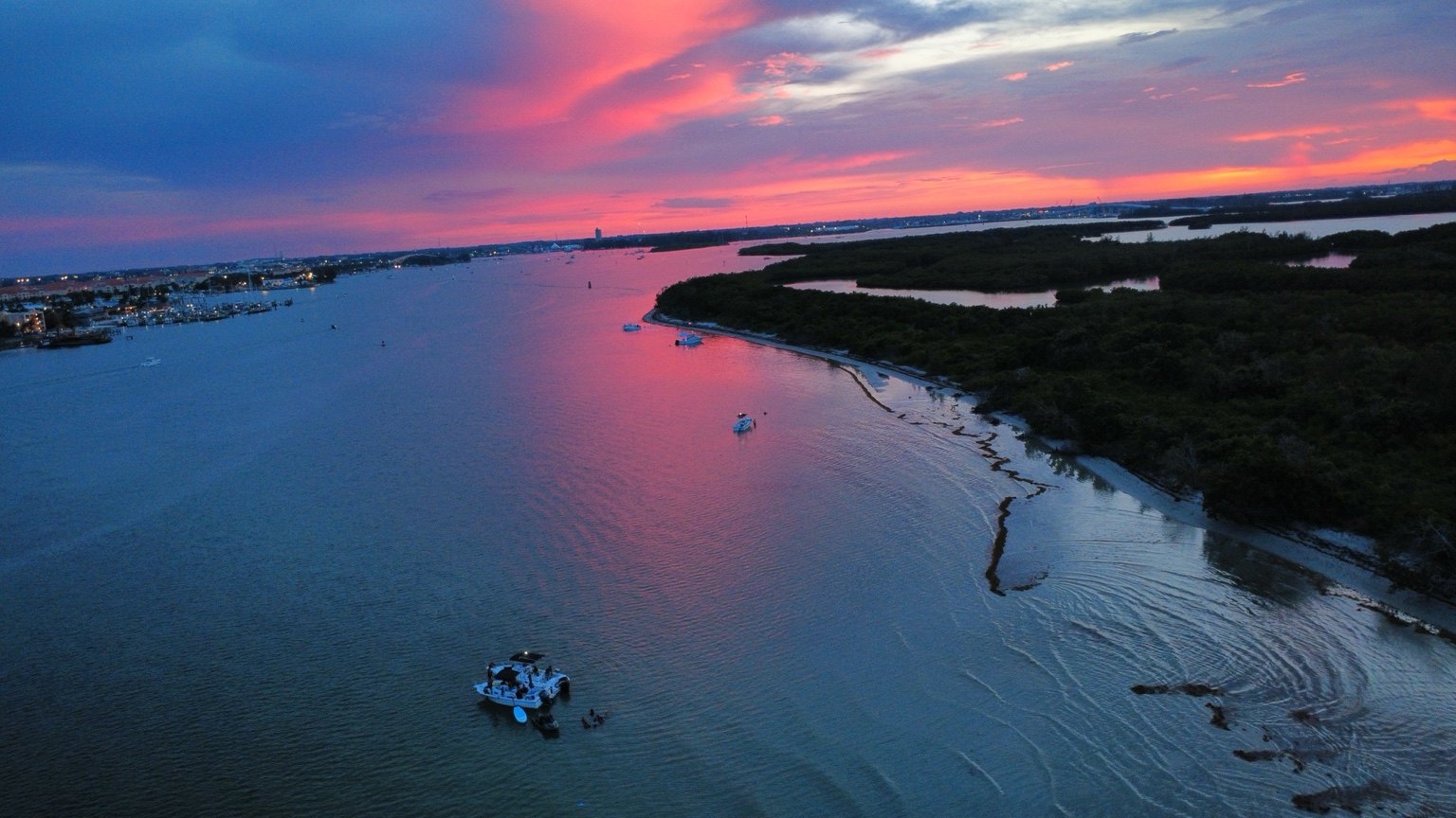
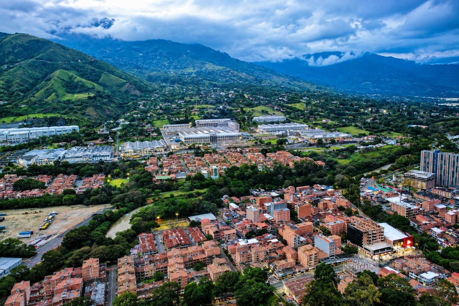
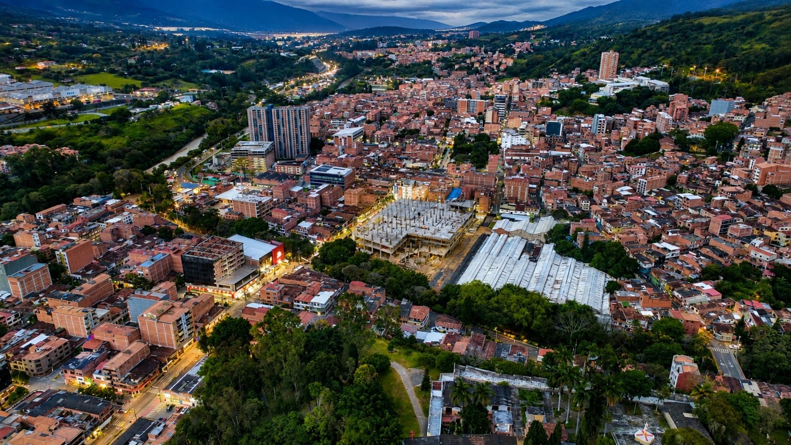
Press play to explore each view.
AI-generated property presentation examples supplied for illustration. These are not documentary photographs or completed client projects.
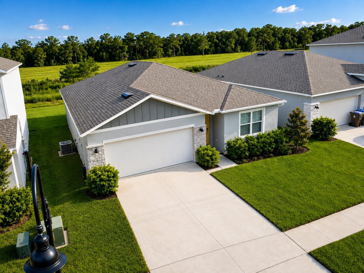
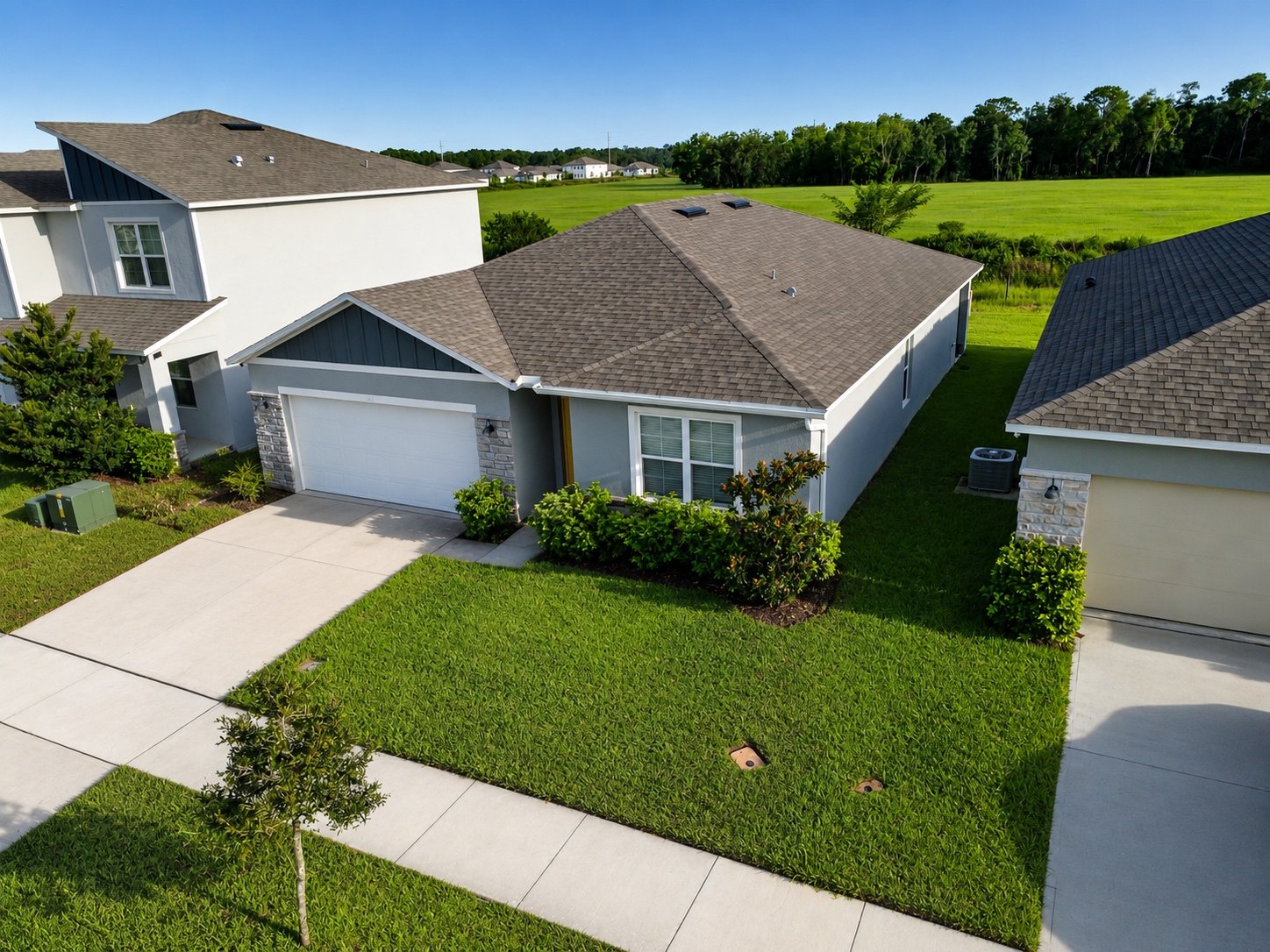
Choose a service to see how you can use your project’s aerial imagery.
Illustrative examples of deliverables. These illustrations do not represent completed client work. View our photography and video in the portfolio above.
From a defined capture area to an organized flight pattern, mapping starts with planning the right coverage.
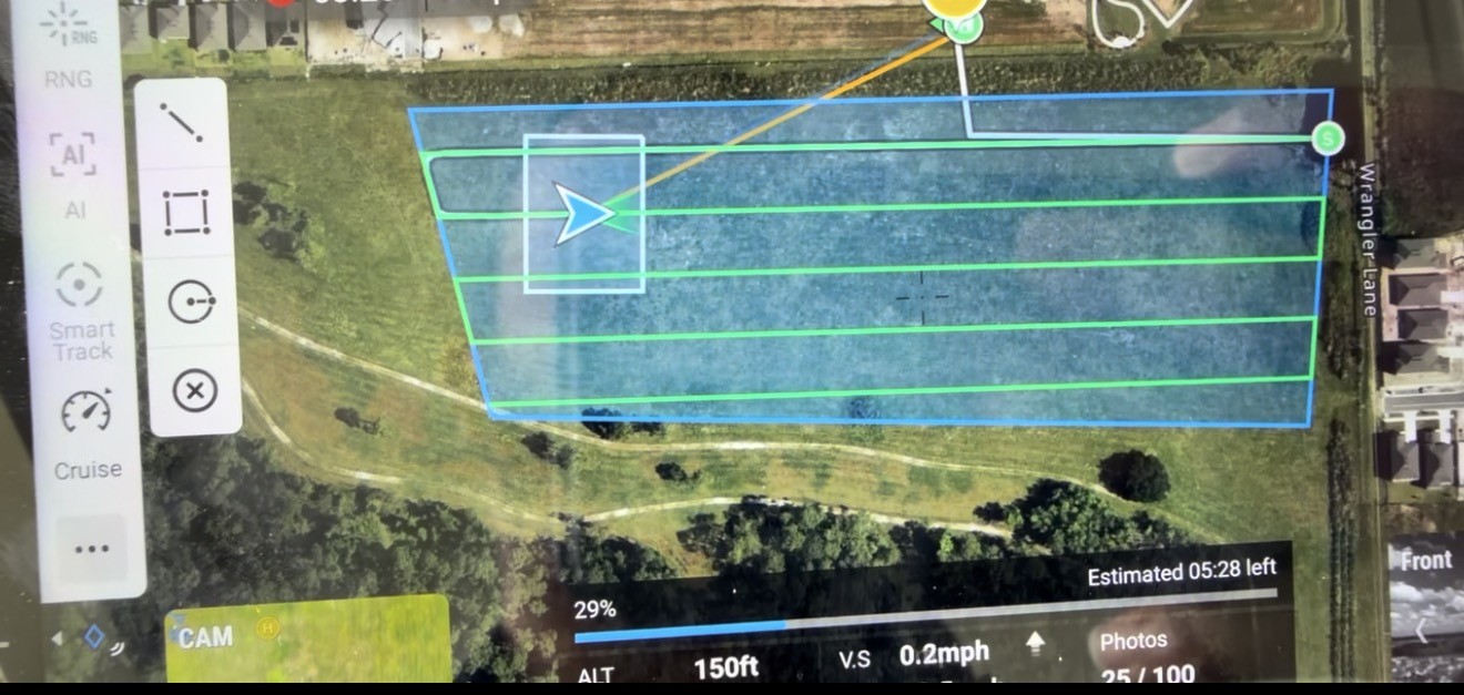
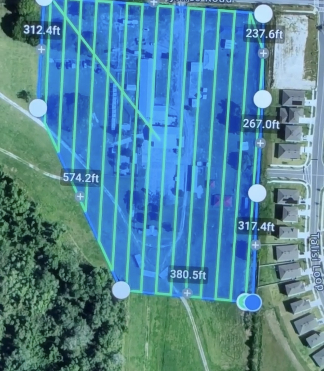
Flight-planning screenshots show capture coverage, not completed mapping products or verified property boundaries. Deliverables and accuracy requirements are agreed before the flight.
Discuss a mapping project ↗Visible-light and thermal imaging in one aircraft, supporting aerial documentation and animal searches.
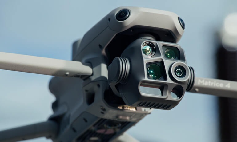
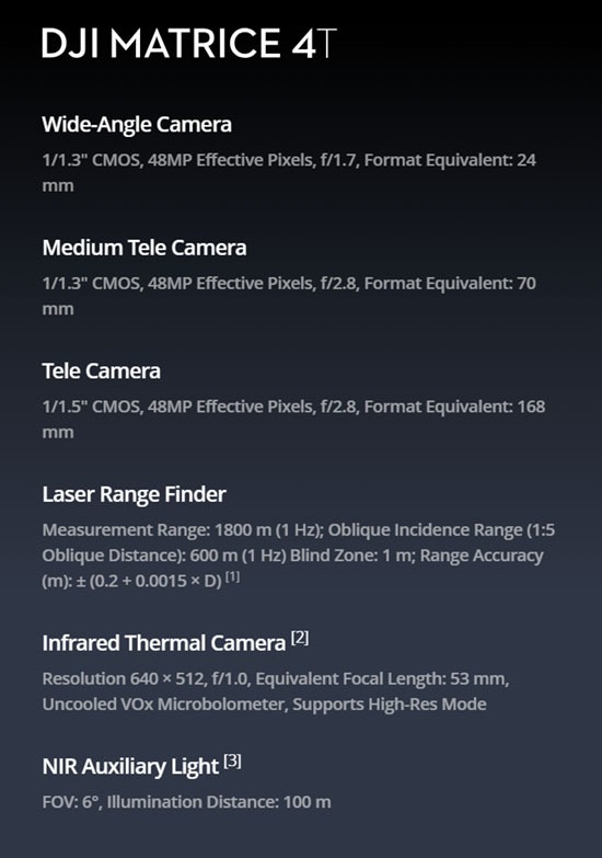
48 MP camera sensors with wide-angle, medium telephoto and telephoto views for scene coverage and closer visual detail.
Capture surface heat patterns for thermal aerial footage and search support.
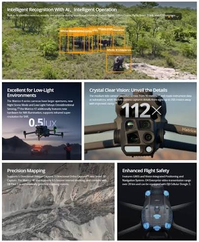
Additional onboard tools to assist observation, distance measurement and low-light operations.
Equipment reference images. Feature illustrations are not footage from our own rescue operations.
Two completed rescue operations involving two cows and one dog. These clips share a view of our field experience.
Aerial footage from a completed rescue operation involving two cows.
Aerial footage from a completed dog rescue operation.
Call or text with the last known location and when the animal was last seen.
Footage and rescue history provided by 787Drones Services. Every search is different; visibility, terrain and flight conditions affect what can be seen.
We agree on the scope before the flight so you know exactly what you will receive.
Share the location, project type and how you plan to use the images.
We confirm the service, quote and date, subject to weather and flight conditions.
Receive the agreed digital files, ready to review or share.
Completed safety training through 360training.com, supporting preparation for work around construction sites and other project environments.
Call, text or email us about your project.
Serving Central Florida & surrounding areas
Orlando · Kissimmee · St. Cloud
Service in English & Spanish
Info@787dronesservices.com
1-407-460-7942
Call or Text · Spanish spoken